
An old dream comes true
For many years, the use of satellite navigation was a top-secret military operation of the major powers. Once the satellite network was finally made available for commercial use, its peaceful application soon spread throughout the world. Before long, a GPS navigation device became standard equipment in a mid-range car. Glider pilots also adopted this technology, which, among other things, led to significant changes in how they documented their competition flights. Although GPS receivers became steadily smaller and eventually fit into wristwatches, it took a surprisingly long time for the trend to catch on in model aviation. This did not sit well with the inventor and model aviator Christoph Mächler, who recognized the great potential of using satellite navigation in model aviation. That is why he developed SkyNavigator.
In the spring of 2003, the first prototype was completed and underwent extensive testing. This was followed by an initial small production run. In the years that followed, the system was continuously improved and expanded. Four years later, the latest version—SkyNavigator V3—is now on the market: a fully developed, globally unique navigation system for model airplanes that, like its predecessors, will prove its practicality in both everyday and competitive flying.
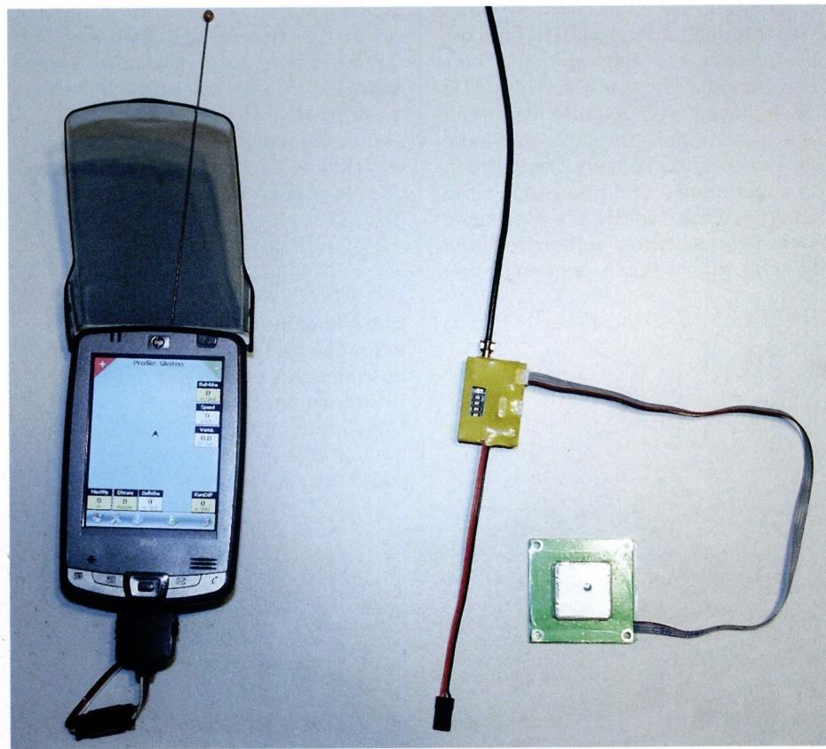
What is it all about? It is a long-held dream of model airplane pilots—and glider pilots in particular—to always be aware of the climb and descent, altitude, speed, and other parameters of their glider as it soars high above them. The tried-and-true variometer systems that have been available for years—which process data from a pressure sensor and transmit it to the pilot via radio—were a major step toward realizing this dream. However, this technology has reached its limits. A system based on satellite navigation, on the other hand, breaks through these limits and possesses development potential that has only been partially tapped so far. SkyNavigator essentially consists of the following components. The GPS receiver—including the module and data logger—installed in the model continuously determines its current horizontal and vertical position. This data is processed in the module and transmitted via cable to the transmitter, which—like the GPS receiver/module unit—is smaller than a matchbox. These two components require so little power that they can be powered by the receiver’s battery. They are not permanently installed in the model but can be transferred to another model in just a few simple steps. The transmitter sends the processed signals to the receiver carried by the pilot. There are 32 channels in the 433-MHz band to choose from. The data is transmitted from the receiver to a Pocket PC—via cable or Bluetooth—on which the SkyNavigatorGPS-Flyer software is installed. This software allows users, on the one hand, to define a triangular course tailored to the specific airfield with just a few simple inputs. It also offers the ability to conduct and evaluate performance flights. Finally, the software allows the system to be used as a variometer, airspeed indicator, and more, even outside of competition or performance flights. During course flying, the course triangle is displayed on the Pocket PC screen, along with flight parameters selected by the pilot. The pilot and navigator can visually verify, using the aircraft icon moving across the screen, whether the glider is on the ideal course line. The information needed for navigation can also be accessed via voice prompts, so that after a brief adjustment period, the pilot can fly the triangle course precisely even without the assistance of a navigator. A wide range of additional data (parameters)—such as current climb rate, integrated climb rate, ground speed, airspeed, current glide ratio, and current altitude—can be accessed both visually and via voice prompts, along with the information specifically required for course flying. Significant new features include multiple voltage monitoring of the onboard power supply and a further reduction in display latency. The pilot now flies virtually in real time.
The GPS receiver—including the module and data logger—installed in the model continuously determines its current horizontal and vertical position. This data is processed in the module and transmitted via cable to the transmitter, which—like the GPS receiver/module unit—is smaller than a matchbox. These two components consume so little power that they can be powered by the receiver’s battery. They are not permanently installed in the model but can be transferred to another model in just a few simple steps. The transmitter sends the processed signals to the receiver carried by the pilot. There are 32 channels in the 433-MHz band to choose from. The data is transmitted from the receiver to a Pocket PC—via cable or Bluetooth—on which the SkyNavigatorGPS-Flyer software is installed. This software allows users, on the one hand, to define a triangular course tailored to the specific airfield with just a few simple inputs. It also offers the ability to conduct and evaluate performance flights. Finally, the software allows the system to be used as a variometer, airspeed indicator, and more, even outside of competition or performance flights. During course flying, the course triangle is displayed on the Pocket PC screen, along with flight parameters selected by the pilot. The pilot and navigator can visually verify, using the aircraft icon moving across the screen, whether the glider is on the ideal course line. The information needed for navigation can also be accessed via voice output, so that after a short adjustment period, the pilot can fly the triangle course precisely even without the assistance of a navigator. A wide range of additional data (parameters)—such as current climb rate, integrated climb rate, ground speed, airspeed, current glide ratio, and current altitude—can be accessed both visually and via voice prompts, along with the information specifically required for course flying. Significant new features include multiple voltage monitoring of the onboard power supply and a further reduction in display latency. The pilot now flies virtually in real time.
Following this brief introduction, we will now present the new features of SkyNavigator V3 in detail. Development of these features has just been completed. By the time this article is published, they should already be available on the market.
• Voltage Measurement
: The voltage measurement system takes into account that most large-scale models today are equipped with a dual power supply and, consequently, a battery switch. Therefore, the voltage is measured at three points: directly at the receiver, and at each individual battery pack of the dual power supply. With a minor modification to the existing power supply, it can be converted to the new system. All that is required is to attach a second positive wire to the battery connector, which is then connected to the GPS transmitter. All three voltages are continuously transmitted to the pilot and can be displayed on the Pocket PC’s screen or accessed via the voice module: The pilot can have voltage drops as low as 0.1 V announced or displayed, or can select a minimum voltage; once this level is reached, the monitoring system—which had been running silently in the background until then—will issue its first alert. With this innovative voltage monitoring system before and after the battery switch, the pilot can always get a clear picture of the status of their model’s power supply, which enhances flight safety. Power consumption in large gliders has increased significantly in recent years. More and more servos—and more and more digital servos—require a power supply.
• Pulse 1
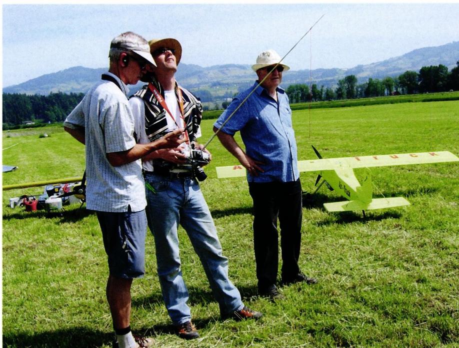
: This new feature makes flying and practicing triangle courses much easier without the assistance of a navigator. Using the connector through which the GPS transmitter in the model draws power from the remote control system’s power supply, the remote control transmitter can send a pulse that triggers preprogrammed, coordinated changes in both the model and the navigation system. For example: The remote control transmitter is programmed so that the flaps are moved to the desired positions via a 3- or 4-way switch. This control command can now be linked to the GPS system so that each time the multi-position switch is flipped, it also activates a corresponding profile—that is, a preset configuration of parameters. For example, if the flaps are set to the “Speed” position, SkyNavigator V3 automatically switches to the “Glide” profile. Here, the focus is on data regarding speed, glide ratio, wind components, and sink rate. If the flaps are lowered to the “Thermal” position, the navigation system automatically switches to the parameters best suited for locating and exploiting thermals, namely vario, integrated vario over several seconds, fully energy-compensated vario, and altitude data. If the flaps are set to a positive angle and the landing gear is extended, the system displays the parameters for the “Towing” profile, which primarily provides precise altitude readings. Based on this explanation, the advantage of Impuls 1 is obvious. The pilot no longer has to worry about the Pocket PC while flying—that is, no longer has to press any buttons on it to switch the software from one flight mode to another. He can concentrate fully on flying and, in every flight mode, is provided by the navigation system with the specific information he has previously selected for that mode. Consequently, the Pocket PC no longer needs to be mounted within easy reach of the remote control transmitter but can remain in the pilot’s pocket.
• Impulse 2
With Impulse 2, the reception signal can be monitored when using a PCM control system. SkyNavigator V3 detects when the receiver switches to failsafe mode and issues a warning message to the pilot. When using ACT receivers, the field strength measurable at the receiver can also be displayed on the Pocket PC, and alarm thresholds can be defined to alert the pilot in a timely manner—via an audible tone or voice output—to an impending range issue.
• Transmission Reliability
: SkyNavigator V3 uses a new transmission protocol. This has further improved the system’s transmission reliability and range.
• Improved Analysis
The new SkyNavigator V3 software allows for direct analysis of the flight immediately after landing. The logger inside the model can be read directly using the Pocket PC, without the need for another PC. Gone are the days when you had to lug a laptop to the airfield just to analyze training flights right away. Flights can also be logged directly on the Pocket PC and analyzed and reviewed immediately after landing. All data not related to navigation—such as on-board voltages and pulses—is also stored. This can be extremely useful when investigating the cause of malfunctions or crashes. The logger can now also be easily reprogrammed or cleared.
• Virtually lag-free display
Thanks to faster satellite measurements and faster data processing, the display lag—which previously was just under one second—is now only about 0.6 seconds. As a result, the pilot truly feels as if he were sitting inside his model himself and consulting the instruments there.
• Multilingual display
: A language file can now be downloaded from the Internet. The languages currently available are German, French, English, and Italian.
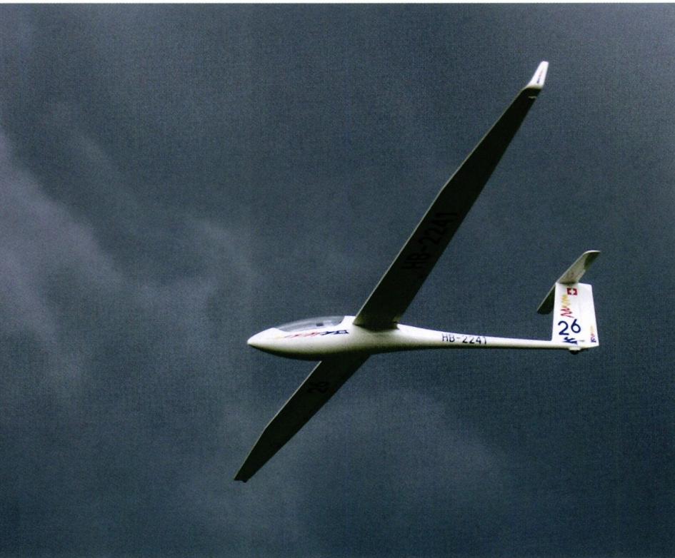
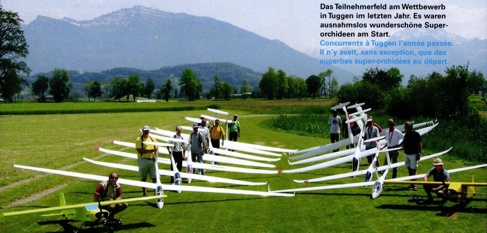
Let’s now turn our attention to past and future competition activity. First, it’s clear that the scene has grown steadily. There are more and more large glider pilots who are fascinated by competitive flights on the triangular course. Nevertheless, the number of participants has not skyrocketed. Last year, five competitions were held. The highest number of participants was 14 pilots. The 2006 Swiss GPS Cup annual report lists 25 pilots from Switzerland and abroad who completed at least one scoring flight. Thus, it was no longer just the same dozen pilots from the pioneering days at the starting line. As far as the field of participants is concerned, we can already speak of a consolidation phase. This broadening of the participant base is also attributable to the fact that around 100 navigation systems have now been sold. The past year has shown that the days when pilots, due to a lack of experience, were still struggling more with the system than against their competitors are over. Most users have mastered the operation of SkyNavigator and can concentrate fully on flying. The field at the top has tightened, so consolidation is evident here as well. The right flying tactics—which, after all, are the real appeal of triangle flying—are now the primary focus. Anyone who wastes time in a few unproductive circles in a weak thermal during the 30 minutes of flight time available per round runs the risk of being lapped by their competitors. The atmosphere at the competitions was outstanding. No harsh words, a spirit of mutual support, yet fierce battles over several rounds made each of these events a unique experience. There is still some debate over which aircraft is the ideal choice for triangle-flight competitions. Light gliders do have an advantage in weak updraft conditions, as they can circle tighter and climb faster. But as soon as wind comes into play—which can be significantly stronger at the takeoff altitude of 500 m above ground than at ground level—the lighter gliders run into trouble. The heavier models literally glide right past them. When there are hardly any thermals to be found and the sole objective is therefore to glide the triangular course as optimally as possible—that is, as fast and yet as often as possible—a heavier glider or a light glider with added ballast is likely to have the advantage. It is also very important to stay as close as possible to the ideal course—which is not at all easy in a crosswind—and, in particular, to turn precisely. Turning two or three seconds too late—given today’s typical gliding speeds of 50–70 km/h—can quickly mean flying a hundred meters around the area unnecessarily. The large gliders used typically have a scale of 1:3. On the one hand, wingspan provides performance; on the other hand, in poor visibility, a silhouette that isn’t too slender is a welcome feature.
A new landing scoring system will be introduced this year. 300 landing points are awarded if the glider touches down on the landing field in the prescribed direction, does not lose any parts during landing, and does not roll beyond the runway. As an additional criterion, the aircraft must land on its extended landing gear, provided the original model has one. If any of these criteria are not met, the landing is worth only 100 points. As a result of this change, pilots of heavier models in particular will need to retrofit their retractable landing gear with a brake.
In addition, the previously vague description of the models eligible for the competition has been clarified. Thus, the scale specified by the pilot or builder must fall within the specified tolerances for fuselage height, fuselage width, root depth, and wingspan. Otherwise, the existing rules remain unchanged except for minor details.
A two-day event is planned for 2008. In addition to modern scale large gliders, vintage models are also eligible to participate, both at a maximum scale of 1:3, as well as the “open class,” which includes, in particular, the increasingly common utility large gliders with large wing areas, low wing loading, and slender fuselages. The three categories will fly one after the other. The long-term goal is to establish an official Swiss championship.
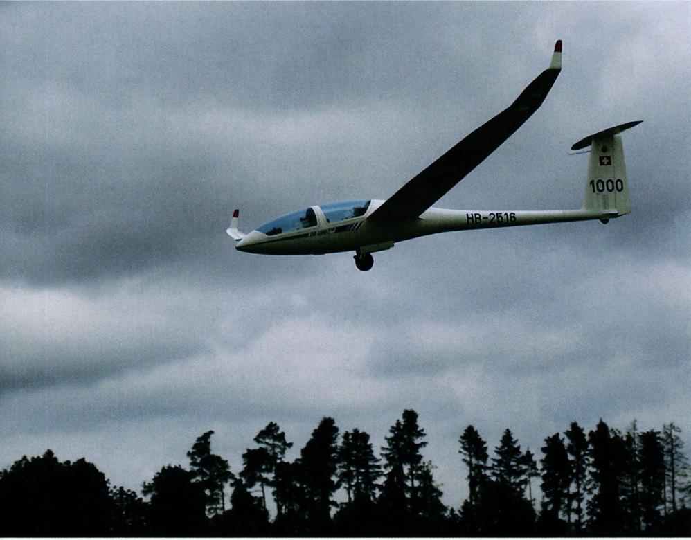
SkyNavigator enhances model gliding. Even in everyday use, once you’ve come to appreciate the many features it offers, it’s a huge help. Without SkyNavigator, there would be no triangle races, where large gliders and their pilots can demonstrate their true abilities in an exciting atmosphere and compete against one another. SkyNavigator makes it possible to conduct these races without a complex infrastructure, allowing multiple gliders to race around the triangular course simultaneously and each one to be scored with precision.
In an earlier technical report, I described the possibilities offered by the use of satellite navigation, combined with intelligent software, as the fourth dimension of model flying. That vision has now become a reality.

News from HEBU
F3A EUROPEAN CHAMPIONSHIPS IN ST-MACAIRE, FRANCE
 Matthias Bosshard
What's New at Leomotion.com
YOU KNOW WHAT I MEAN? 125 YEARS OF THE SWISS AERO CLUB
 Emil Giezendanner
52. 2026 ALPS CUP
Emil Giezendanner
PRIDE AND GOOD IDEAS
 Markus Nussbaumer
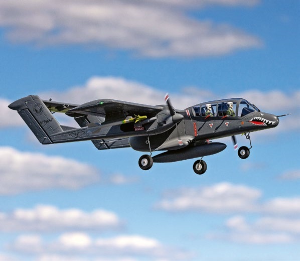
HORIZON HOBBY/LEMACO NEWS: MICRO OV-10 BRONCO 645 MM BY E-FLITE
EURO CONTEST GLIDER ACRO TOUR AUSTRIA 2026
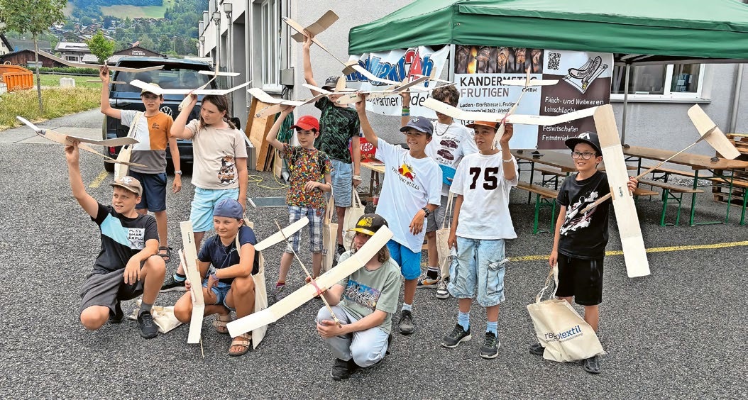
BY YOUTH, FOR YOUTH
 Lorena Betschen
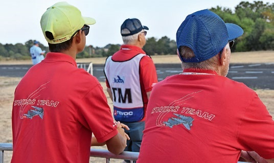
TEAM MANAGER "THIS" BOSSHARD
Rodito Nussbaumer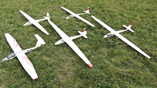
SMALL, MODEL-LIKE SAILBOATS
Res Dauwalder
TRY-OUT DAY AT MFV WETTINGEN
Urs Keller
34th HAHNENMOOS ALPINE MODEL AIRPLANE CAMP
Res Dauwalder
CORSAIR F4U – A WARBIRD WITH A MEMORABLE LOOK
Jürgen Rosenberger, Jürgen Prinz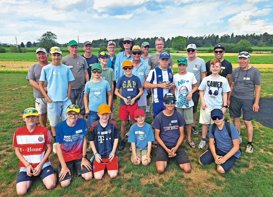
SUMMER FUN 2026 AT MG USTER
Martin Wunderli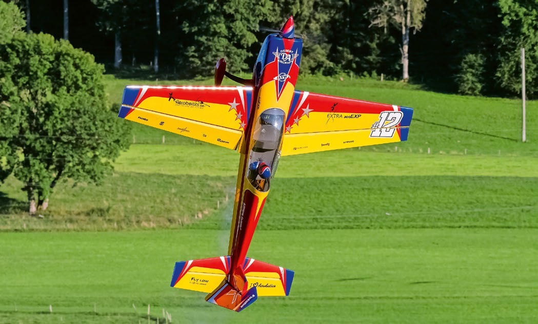
WELCOME, NEW MEMBER!
Andrea Bolliger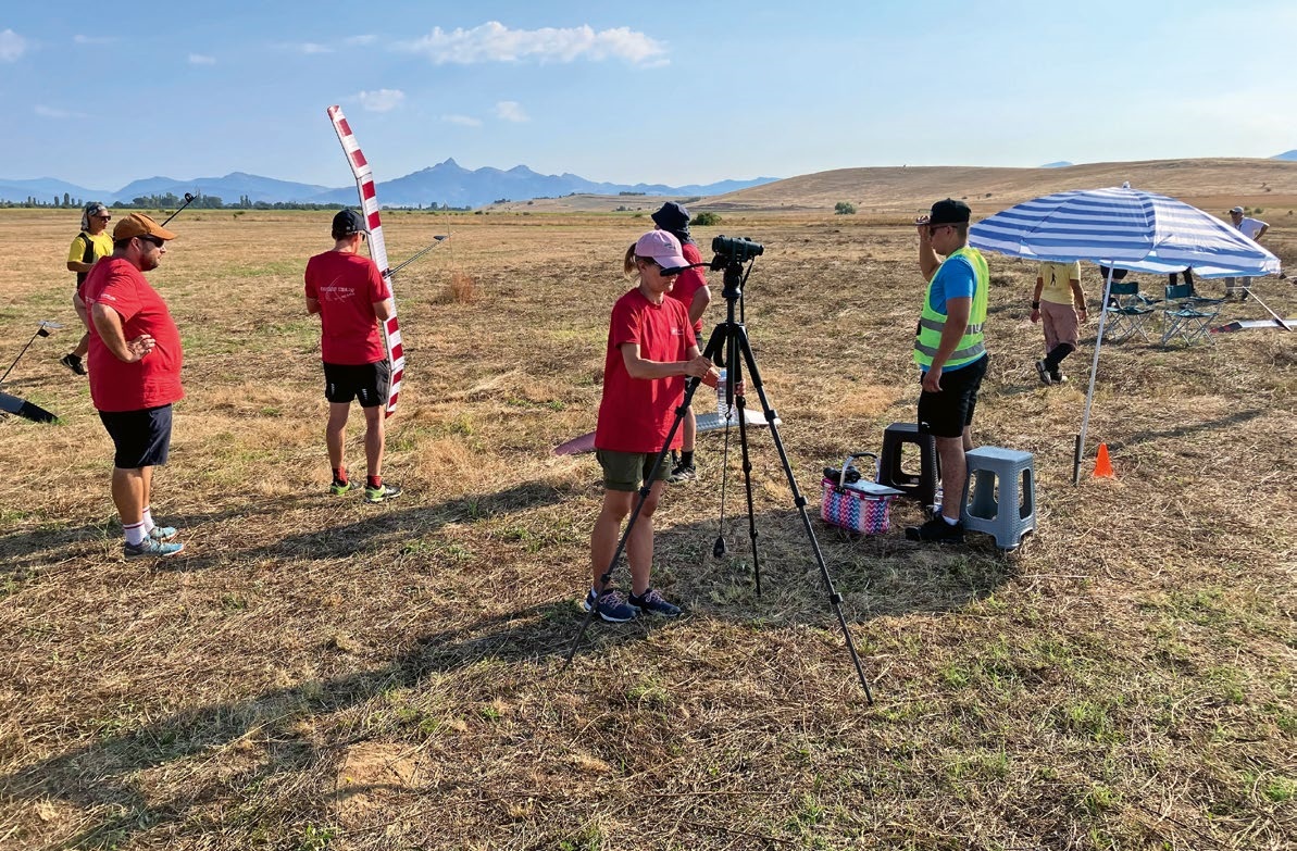
FREE FLIGHT IN THE MIDDLE OF SUMMER
Urs Muntwyler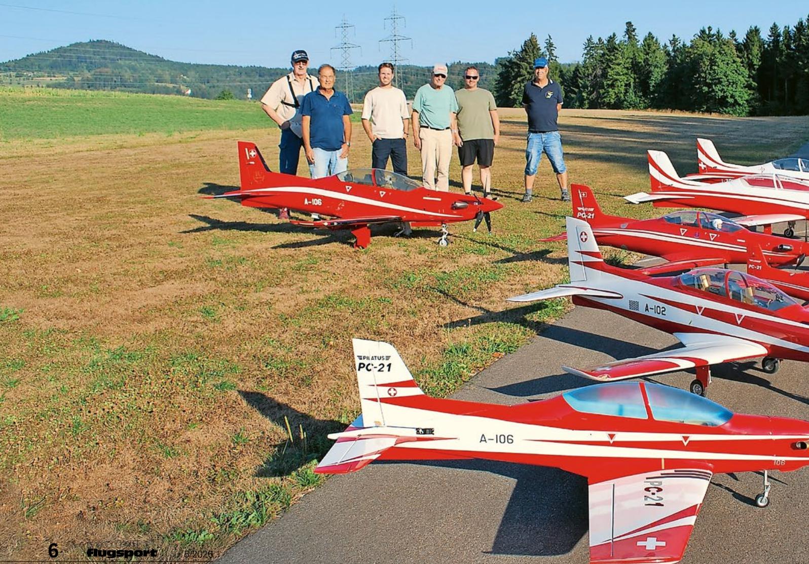
THE PC-21 STORY
Emil Giezendanner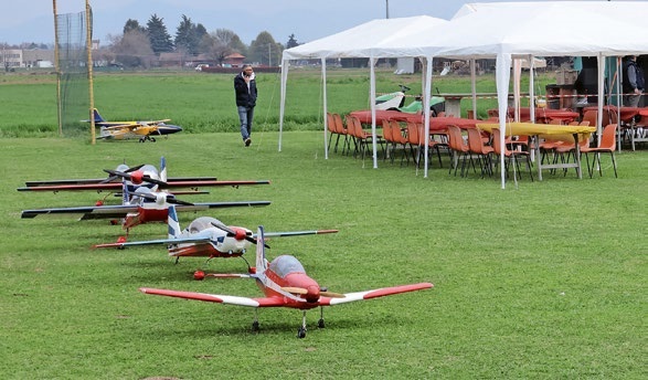
TWIN TOWN PARTNERSHIP
Wolfgang Voeller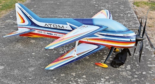
ATOM, THE NEW DOUBLE-DECKER FROM CPLR
Matthias Bosshard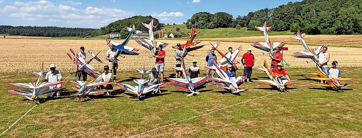
COUPE DES ALPES – OBSERVE AND LEARN
Rodito Nussbaumer
INSIGHTS INTO THE HISTORY OF SEAPLANES
NEWS FROM HEBU
 Julia Bucher
FROM 0 TO 100
Markus Nussbaumer
MEMORIES
Wolfgang Völler
NOS REGION – A HUB FOR ELECTRIC AVIATION
Emil Giezendanner
A SPECTACULAR F3A WORLD CUP IN THE PRINCIPALITY OF LIECHTENSTEIN
Emil Giezendanner
DO YOU KNOW WHAT I MEAN IN THE LAND OF SMILES?
Emil Giezendanner